


Hydrography
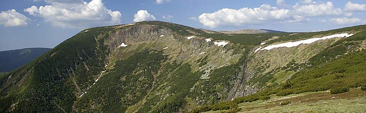
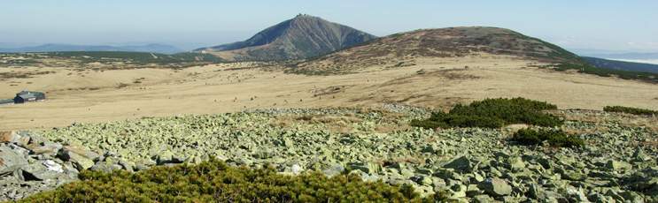
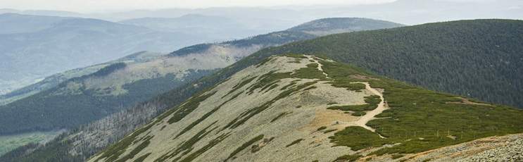
Krkonoše boasts one of the important headwater areas, a place of origin for major Central European streams. The bordering Silesian Ridge forms the watershed between the Baltic Sea and North Sea, with waters of exclusively rainfall origin flowing from the prevailing western portion of the mountain into the North Sea via the basin of the River Elbe, while those flowing down on the Polish side head into the River Odra, to be carried through to the Baltic. The mountains' river network is one of a tree-like (epigenetic or trellis) arrangement and its origins date back to the Tertiary period. The local streams feature steep slopes and uneven longitudinal profiles, alternating stretches of rather high and rather low angle. In the Czech part, the river system consists of over 140 streams, the waters of which feed the seven big rivers of Krkonoše – the Jizera, Mumlava, Jizerka, Úpa and Elbe (Labe) along with its first two major tributaries, Bílé Labe and Malé Labe. More sparse and shorter, the network of Polish rivers is made up of 31 rivers – the Kamienna, Podgórna, Wrzosówka, Łomniczka, Lomnica and Jedlica being amongst the largest.
One of Europe's major rivers, the Elbe springs from a place called Labská louka in the western portion, at an altitude of 1 386.6 metres; it measures 1 062 km from the source to the estuary into the North Sea. Krkonoše is well-known for its waterfalls, e.g. the Pančava, Elbe and Horní Úpa waterfalls or those called Wodospad Kamieńczyka and Wodospad Szklarki found on the Polish side. Near Sněžka mountain lie two glittering glacial lakes – the Wielki Staw and Mały Staw, with depths of 24 m and 7 m, respectively. In the troughs of the Mumlava, Jizera and Elbe rivers, the rapidly swirling water has modelled giant pot-holes and kettles.